
NORSAR-3D
Advanced 3D Seismic Modeling
A comprehensive 3D seismic modeling platform for simulating wave propagation, evaluating survey geometries, analyzing subsurface illumination, and supporting seismic imaging workflows.

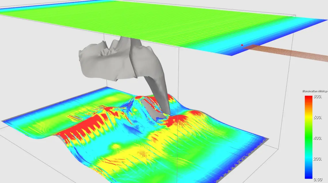
Overview
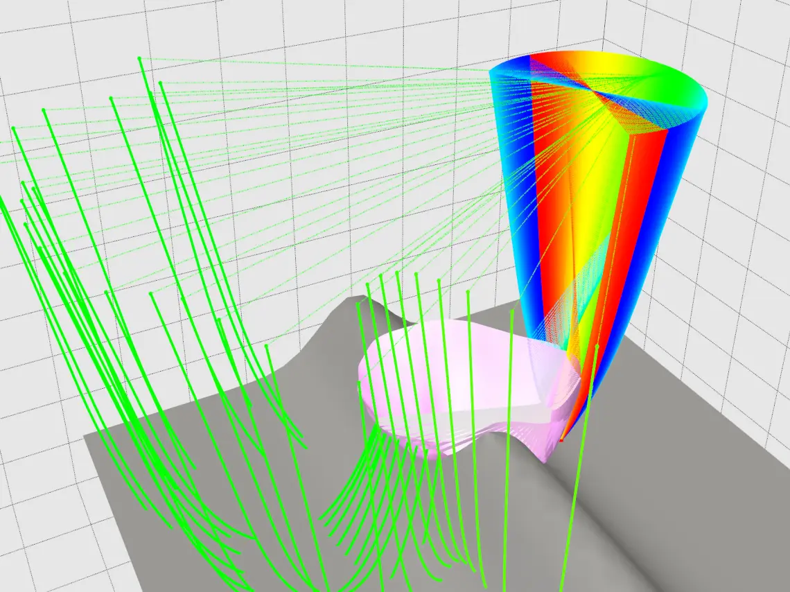
NORSAR-3D extends ray-based seismic modeling to three-dimensional subsurface models, using ray tracing and wavefront construction to simulate how seismic waves propagate through complex geology.
Its results support acquisition design, illumination analysis and imaging workflows where three-dimensional effects matter.
Key capabilities
- 3D ray tracing and wavefront construction
- Survey design and evaluation
- Seismic illumination mapping
- Kirchhoff seismic modeling
- Synthetic seismic data generation
- Traveltime analysis for PSDM workflows
Applications
Acquisition design: evaluate survey geometries and map illumination over targets in complex settings.
Imaging support: compute traveltimes for prestack depth migration (PSDM) workflows.
Synthetic data: generate modeled seismic data, including Kirchhoff modeling, to test processing and interpretation scenarios.
Developer
NORSAR Innovation develops specialized software for seismic modeling, reservoir-scale seismic simulation and seismic monitoring. We supply a selection of its solutions.
Official websiteTechnical resources
Interested in NORSAR-3D?
Speak with one of our specialists about NORSAR-3D and your project requirements.