
NORSAR-2D
2D Seismic Ray Modeling
A specialized seismic modeling solution for analyzing wave propagation, building geological models, and evaluating seismic acquisition and imaging scenarios in two dimensions.

Overview
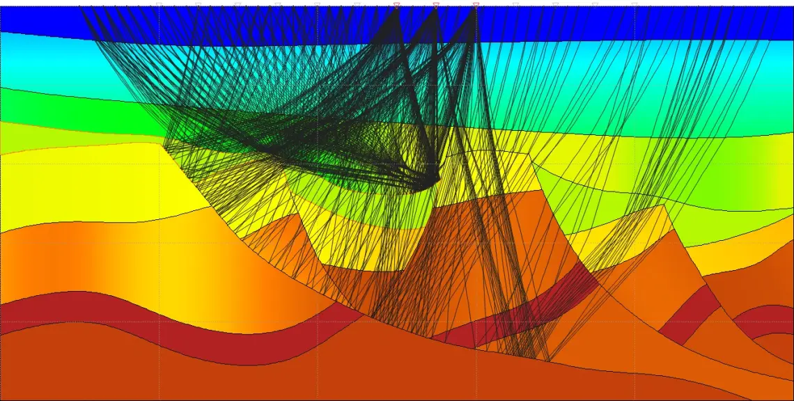
NORSAR-2D applies seismic ray theory to two-dimensional geological models. Geoscientists use it to understand how seismic energy travels through the subsurface and how that behaviour shapes recorded data.
By working in 2D, teams can test interpretations and acquisition scenarios quickly before committing to more complex workflows.
Key capabilities
- 2D seismic ray tracing
- Time-to-depth conversion
- Survey planning and evaluation
- Seismic illumination studies
- Synthetic seismogram generation
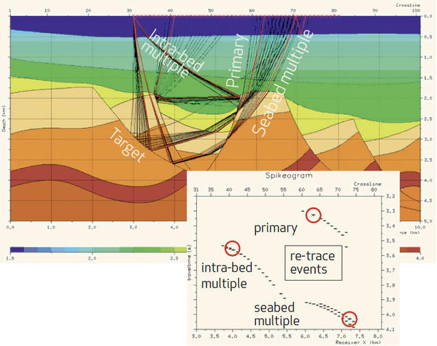
- Ray path and seismic event analysis
Applications
Survey evaluation: compare acquisition layouts along a profile and assess how well target horizons are illuminated.
Interpretation support: trace ray paths and identify seismic events to verify interpretations and convert between time and depth.
Modeling studies: generate synthetic seismograms from geological models to compare with recorded data.
Developer
NORSAR Innovation develops specialized software for seismic modeling, reservoir-scale seismic simulation and seismic monitoring. We supply a selection of its solutions.
Official websiteTechnical resources
Interested in NORSAR-2D?
Speak with one of our specialists about NORSAR-2D and your project requirements.